Philip's RGS Infant School Atlas
Philip's Maps / Wright, David / Noonan, Rachel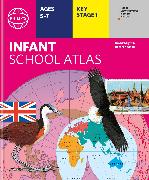
The latest edition of Philip's RGS Infant School Atlas is for children in the early stages of reading, aged between 5 and 7 years old. The atlas covers National Curriculum Key Stage 1 in an accessible way using a fun approach to learning.