
Tahoe National Forest West Map [Yuba and American Rivers]
National Geographic Maps![Tahoe National Forest West Map [Yuba and American Rivers]](https://support.digitalhusky.com/media/annotations/sorted/108/10860833/CHSBZCOP0310860833.jpg)
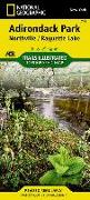
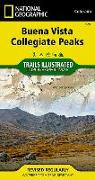
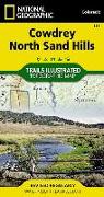
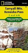
National Geographic's Trails Illustrated Maps are the most detailed and up-to-date topographic recreation maps available for US National Parks, National Forests and other popular outdoor recreation areas. A necessity for exploring the outdoors, each map is printed on waterproof, tear-resistant material. They also contain key safety and contact information, GPS and compass coordinates, Leave No Trace ethical guidelines and hundreds of points-of...

![High Uintas Wilderness Map [Ashley and Wasatch-Cache National Forests]](https://support.digitalhusky.com/media/annotations/sorted/108/10860816/CHSBZCOP0310860816.jpg)
![Durango, Cortez [Mesa Verde National Park] Map](https://support.digitalhusky.com/media/annotations/sorted/108/10860836/CHSBZCOP0310860836.jpg)

![San Rafael Swell Map [Blm - Price Field Office]](https://support.digitalhusky.com/media/annotations/sorted/108/10860808/CHSBZCOP0310860808.jpg)
![Paiute Atv Trail Map [Fish Lake National Forest, Blm]](https://support.digitalhusky.com/media/annotations/sorted/108/10860804/CHSBZCOP0310860804.jpg)